



Physical Relief Mapping & Hypsometric Modeling
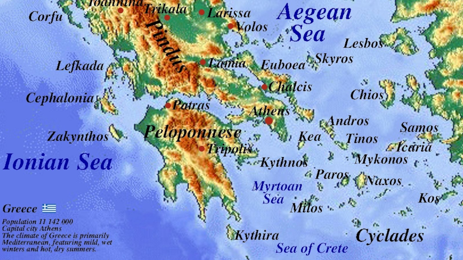
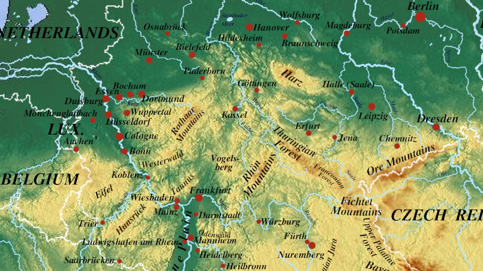
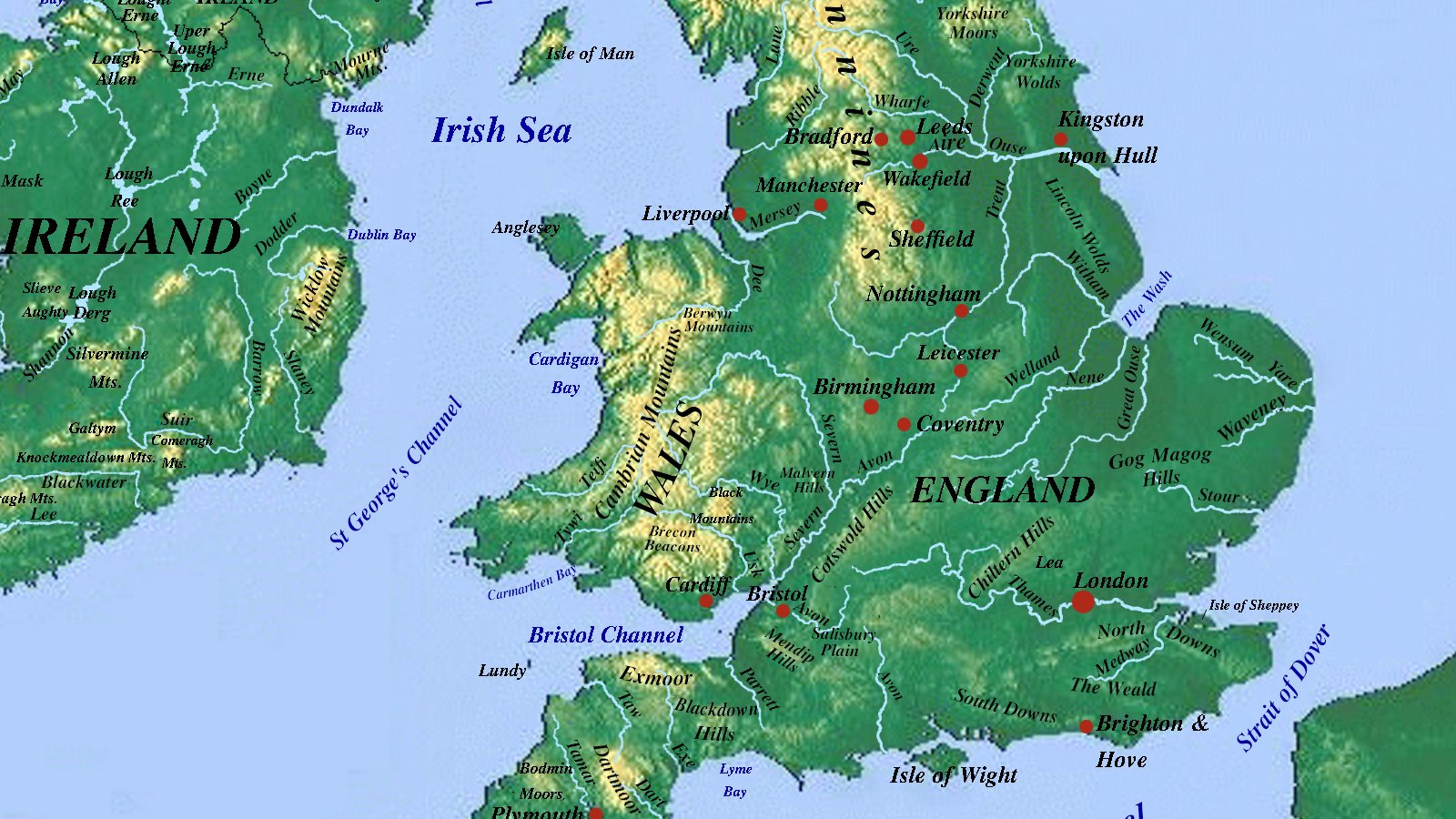
Atlas Open is a free community project for travelers, hikers, and map lovers. We create and share detailed physical and relief maps of the world’s landscapes — completely open and free to download.
What We Share
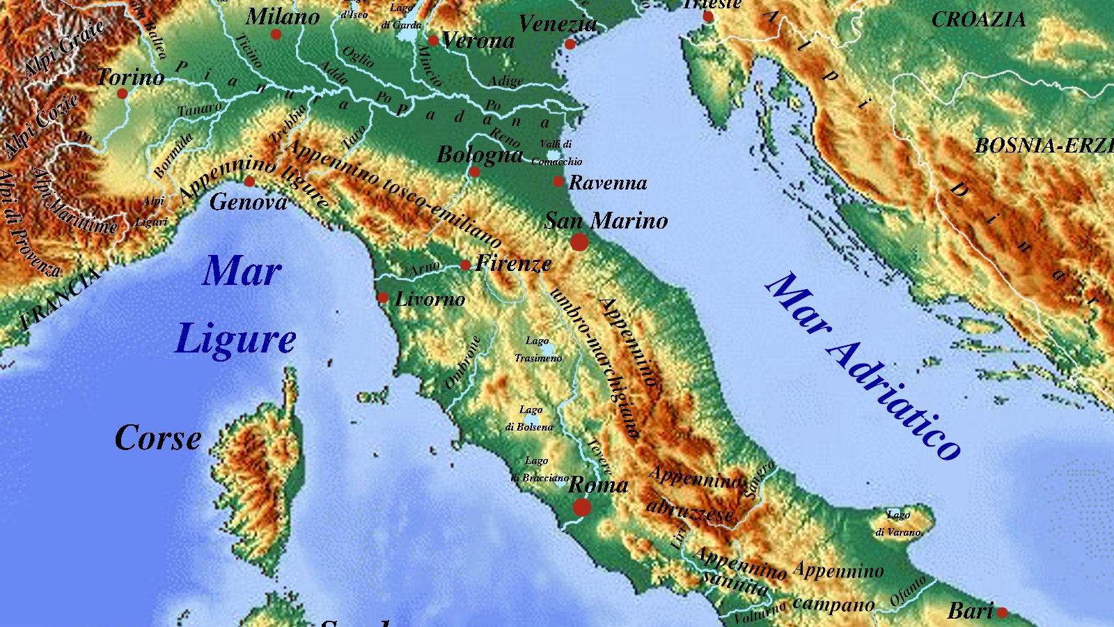
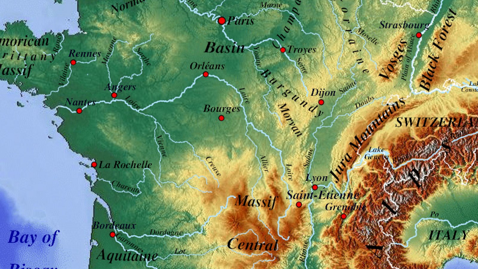
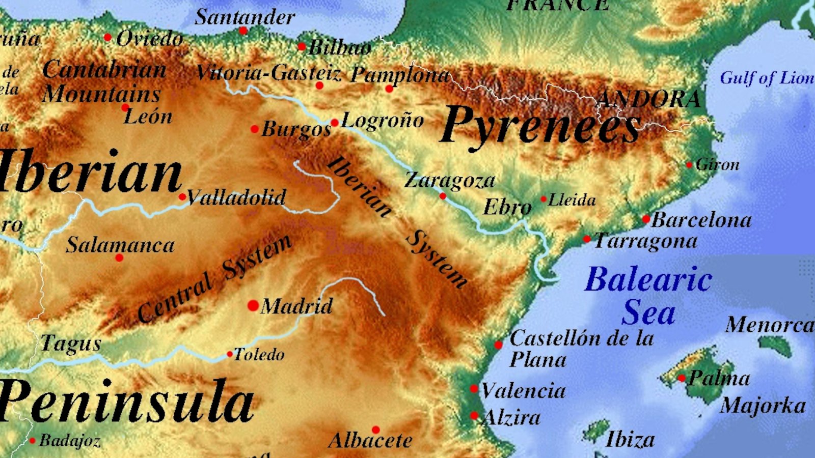
- Detailed Physical Maps: High-resolution terrain and mountain maps showing real landforms, peaks, and valleys.
- Rivers & Landscapes: Clear visual guides to drainage basins, natural borders, and regional geography.
- Free Open Data: Map assets and clean layers ready for personal projects, education, or exploration.
Open Access with a Good Cause
Everything here is free to use. We believe geographic knowledge should be open to all, while using this platform to quietly shine a light on humanitarian and medical nutrition relief in vulnerable regions.
Physical maps illustrate the grandeur of landscapes, but relief and distance also define the limits of human survival. In regions where dense forests, river systems, and severe infrastructure deficits dominate, geography becomes the decisive factor in managing humanitarian emergencies.
DR Congo Ebola Crisis: When Distance and Geography Cost Lives
The Democratic Republic of the Congo (DRC) is currently enduring its fastest and largest Ebola outbreak on record, driven by the rare Bundibugyo strain. As of September 2026, epidemiological field registries confirm 7,672 confirmed cases and 3,699 fatalities, with a case fatality rate (CFR) reaching 48.2%. The infection spread at an unprecedented pace, exceeding 1,000 recorded infections within the first 40 days of emergency response mobilization.
Geographic Spread and Regional Dynamics
- The Epicentre in Ituri: More than 77% of all confirmed cases remain concentrated in the rugged Ituri province in eastern DRC. However, the virus has established active transmission chains across 7 provinces, including North Kivu, South Kivu, Haut-Uélé, Bas-Uélé, Tshopo, and recently spreading westward into Sud-Ubangi.
- Regional Cross-Border Containment: While the primary basin remains severely strained, targeted containment prevented broader international escalation. The secondary cluster in neighbouring Uganda (20–21 cases) was successfully halted, with the World Health Organization (WHO) declaring Uganda officially free of Ebola following the mandatory 42-day surveillance window without new cases. Isolated travel-associated cases repatriated to Germany and France were swiftly isolated and successfully treated, with both the ECDC and CDC maintaining that the overall risk of broad transmission to Europe and North America remains very low.
- Frontline Clinical Response: Because there has historically been no standard licensed vaccine against the Bundibugyo species, Doctors Without Borders (MSF) and the DRC Ministry of Health are conducting expanded clinical trials to evaluate the field efficacy of the Ervebo vaccine against this specific variant.
The Logistical Bottleneck: Food, Roads, and Clinical Isolation
Containing the outbreak is severely complicated by the physical terrain of eastern Congo, compounded by armed conflict, widespread displacement, and the near-total absence of paved transport arteries:
- Transit times across unpaved terrain: Primary treatment hubs are distant from rural communities. Navigating unpaved rainforest tracks and flooded river basins delays clinical intervention, resulting in up to 70% of deaths occurring before patients can reach specialized facilities.
- Food supply as a medical necessity: When remote isolation units exhaust food reserves, quarantined patients are forced to leave clinical grounds to forage or purchase meals in surrounding settlements, breaking quarantine and seeding new community transmission clusters.
- Sustaining emergency supply corridors: Humanitarian partners, including the UN World Food Programme (WFP), treat consistent daily nutrition as a primary infection control mechanism—ensuring quarantined patients remain nourished and secure inside designated isolation units.
How Direct Support Reaches the Field
Direct humanitarian funding helps maintain supply chains through difficult terrain, ensuring clinics stay open and rural outbreaks remain isolated:
- Direct nutritional assistance guarantees daily meals for patients in clinical isolation, preventing quarantine breaches and sustaining recovery.
- Logistical funding covers fuel, air charters, and heavy vehicle transport needed to move food, barrier gear, and rehydration supplies across impassable road corridors.
Data Sources & Official References:
- • Epidemiological Bulletins & Surveillance: European Centre for Disease Prevention and Control (ECDC) | U.S. Centers for Disease Control and Prevention (CDC)
- • Outbreak Declarations & Global Health Updates: World Health Organization (WHO) Disease Outbreak News
- • Clinical Trials & Frontline Response: Médecins Sans Frontières (MSF / Doctors Without Borders)
- • Logistics & Emergency Food Corridors: UN World Food Programme (WFP) DRC Emergency Response
Feel free to explore our maps, download what you need for your travels, and reach out if you’d like to share ideas or contribute.